 1 / 7
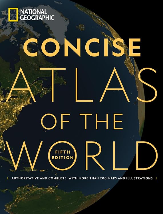
National Geographic Concise Atlas of the World, 5th Edition
National Geographic Concise Atlas of the World, 5th Edition, combines world, continental, and U.S. maps with country facts, topical graphics, and a section on space. Its large-format softcover layout suits browsing and reference at home, while its breadth may not meet needs for detailed maps of individual countries.
At a glance
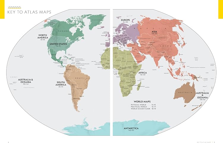
- Maps cover the world, every continent, and the United States, with physical and political details and boundaries.
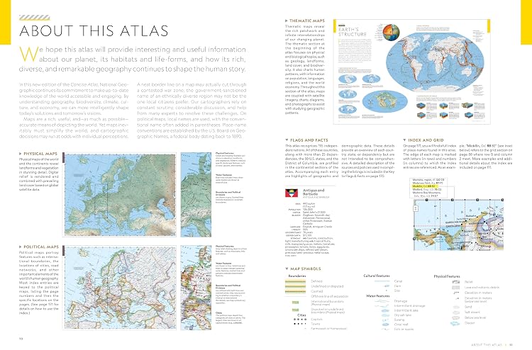
- Country pages are described as including flags and facts, alongside key data for each continent.
- Graphics address subjects such as population, climate, health, and economics.
- A special section includes maps of the Moon and Mars and diagrams of the solar system, universe, and exploratory missions.
- Large-format pages and a comprehensive place-name index are intended to make maps easier to inspect and locations easier to find.
Reference price: $29.99
Price checked: Nov 14, 2026
View offerAhead of Black FridayExplore the selectionOften bought together
Pros and cons
Pros
- Combines maps with country facts, flags, photographs, and thematic graphics in one reference book.
- The space section extends its scope beyond Earth geography.
- A place-name index supports lookups across the atlas.
Cons
- The atlas is a large-format book, so it is less suited to compact travel carry than a small reference volume.
- Customer feedback is mixed on map coverage and the level of detail provided for countries.
Technical specifications
9 specifications| Publisher | National Geographic |
|---|---|
| Edition | 5th |
| Publication date | September 6, 2022 |
| Language | English |
| Print length | 200 pages |
| ISBN-10 | 1426222513 |
| ISBN-13 | 978-1426222511 |
| Weight listed | 2.95 pounds |
|---|---|
| Dimensions | 10.26 x 0.6 x 13.5 inches |
What to know before buying
Listing details to confirm
The listing title says more than 200 maps and illustrations, while the description claims more than 250 maps, graphics, and illustrations. Customer feedback also differs on how detailed the maps and country information are, so buyers seeking individual-country detail should inspect the map coverage before choosing.
Who is it for?
A good fit for
- Readers wanting a broad world and U.S. map reference with country facts and thematic material.
- Geography learners interested in visual context on population, climate, health, economics, and space.
- Home or classroom browsing where large-format pages are practical.
Less suited to
- Travelers who need a compact atlas to carry on trips.
- Buyers who require detailed individual-country maps or extensive country-level coverage without first checking the maps.
Customer reviews on Amazon
- 5 stars
77% 77% - 4 stars
12% 12% - 3 stars
6% 6% - 2 stars
2% 2% - 1 star
3% 3%
Customer feedback describes the atlas as informative and comprehensive, and praises its pictures and artwork. Some customers find the maps and country information useful, while others say coverage is limited to whole continents or that details are missing. That distinction matters if you need granular country maps. The listing describes a broad reference with topical graphics and country facts, but those features do not resolve concerns about map depth. Ratings are generally favorable overall, though ratings alone do not explain individual experiences.
Positive themes
- Customers praise the informative content and artwork.
- Some customers say it offers more than the basics they expected from an atlas.
Mixed feedback
- Feedback is divided on map quality, country coverage, and the amount of detail provided.
Frequently asked questions
What does this atlas cover?
The listing describes world, continental, and U.S. maps, country flags and facts, continent data, topical graphics, and a section on space.
How many maps and illustrations are included?
The title claims more than 200 maps and illustrations, while the description says more than 250 maps, graphics, and illustrations. These listing details conflict.
Is it suitable for detailed country-by-country map reference?
Customer feedback is mixed on map coverage and country detail. The listing describes country facts and maps at world, continent, and U.S. levels, so check whether the specific country detail you need is shown.
How large is the book?
The listed dimensions are 10.26 x 0.6 x 13.5 inches, and the listed weight is 2.95 pounds.
Alternative options
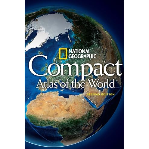
National Geographic Compact Atlas of the World, Second Edition
$8.35
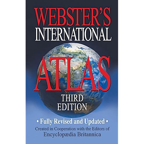
Webster's International Atlas, Third Edition, Newest Edition
$8.38
Essential World Atlas: The Comprehensive Companion to our Planet (DK Reference Atlases)
$11.76
National Geographic Atlas of the World, 11th Edition
$124.40
Atlas of the World: Thirty-Second Edition
$83.50
Essential World Atlas
$24.31
National Geographic Student World Atlas, 6th Edition (NGK Atlases)
$13.88
Collins World Atlas: Complete Edition
$36.46
Great Maps: The World's Masterpieces Explored and Explained (DK History Changers)
$14.15

The Complete Book of World Facts: A concise country and continent handbook, with country maps and world geography stats for cities, highest mountains, largest islands and more.
$8.24
Battling the Elements: Weather and Terrain in the Conduct of War
$29.70
Space Atlas (Special Sales Edition): Mapping the Universe and Beyond
$15.09