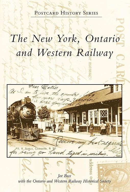
The New York, Ontario and Western Railway (Postcard History Series)
The New York, Ontario and Western Railway is a 128-page book in Arcadia Publishing’s Postcard History Series. It covers the railroad’s history and preserved records, including its closure in 1957, with the series title indicating a postcard-history focus.
At a glance
- Covers the New York, Ontario and Western Railway, described in the listing as the first U.S. Class I railroad abandoned in its entirety.
- Discusses the railroad’s 1937 bankruptcy and 1957 shutdown, as well as the preservation of company records.
- The listing describes historical collections of locomotives, passenger cars, lanterns, tools, passes and railroad police memorabilia.
Reference price: $24.99
Price checked: Nov 14, 2026
View offerAhead of Black FridayExplore the selectionPros and cons
Pros
- The subject is narrowly focused on one railroad, making it relevant to readers researching the New York, Ontario and Western.
- The description points to both the railroad’s operational history and archival material preserved by its historical society.
Technical specifications
9 specifications| Publisher | Arcadia Publishing |
|---|---|
| Publication date | January 7, 2009 |
| Edition | First Edition |
| Language | English |
| Print length | 128 pages |
| ISBN-10 | 0738562629 |
| ISBN-13 | 978-0738562629 |
| Dimensions | 6.5 x 0.31 x 9.25 inches |
|---|---|
| Weight listed | 13.6 ounces |
Who is it for?
A good fit for
- Readers researching the New York, Ontario and Western Railway or abandoned U.S. railroads.
- Railroad-history enthusiasts interested in company records and related historical collections.
Customer reviews on Amazon
- 5 stars
75% 75% - 4 stars
25% 25% - 3 stars
0% 0% - 2 stars
0% 0% - 1 star
0% 0%
Aggregate ratings lean positive, with ratings in the four- and five-star categories. With a small rating sample and no written feedback supplied, the figures do not establish what readers praised or how the book’s historical and postcard-focused content works for a particular buyer.
Frequently asked questions
What is this book about?
The listing describes the history of the New York, Ontario and Western Railway, including its bankruptcy, closure and preserved corporate records.
How long is the book?
The listed print length is 128 pages.
Who published it and in what language?
The listed publisher is Arcadia Publishing, and the language is English.
Alternative options
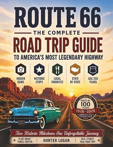
Route 66 The Complete Road Trip Guide: To America's Most Legendary Highway
$18.99
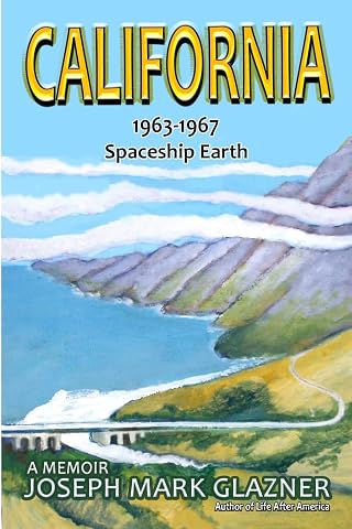
California 1963-1967 Spaceship Earth: A Memoir
$16.99
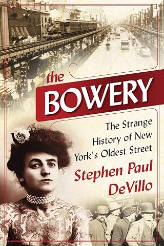
The Bowery: The Strange History of New York's Oldest Street
$16.99
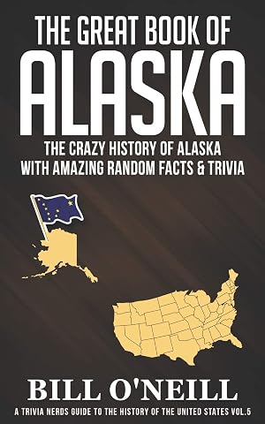
The Great Book of Alaska: The Crazy History of Alaska with Amazing Random Facts & Trivia (A Trivia Nerds Guide to the History of the United States)
$11.99
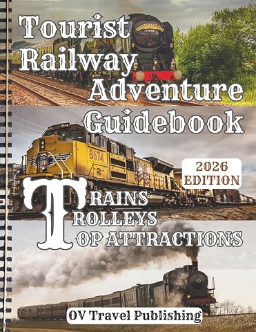
Tourist Railway Adventure Guidebook - Trains, Trolleys & Top Attractions: Explore Historic Lines, Mountain Passes, Coastal Rides, Steam Excursions & Must-See Rail Museums Across the USA & Canada
$21.97
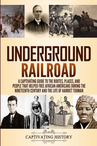
Underground Railroad: A Captivating Guide to the Routes, Places, and People that Helped Free African Americans During the Nineteenth Century and the Life of Harriet Tubman (Exploring U.S. History)
$14.99
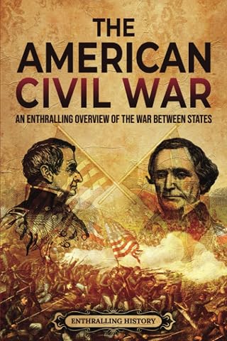
The American Civil War: An Enthralling Overview of the War Between States (U.S. History)
$13.69
New York City Road Map Atlas 2027[Full-Color]: Plan Every Drive with Confidence — Detailed Street Maps, Bridges, Tunnels, Airports, Expressway Corridors, Road Signs and Mileage Charts
$24.99

las Crosses: An Unwavering Journey to a New Life in America
$24.99
New York City Road Map Atlas 2027[Full-Color]: Plan Every Drive with Confidence — Detailed Street Maps, Bridges, Tunnels, Airports, Expressway Corridors, Road Signs and Mileage Charts
$15.99
New York Nico's Guide to NYC: A Must-Have City Guide to 100 Beloved Characters, Institutions, and the Heart and Soul of Five Boroughs
$14.25
The World's Greatest Train Facts Book: Fun Trivia, Steam Locomotives, High-Speed Trains, Famous Railways, Amazing Engineering, Surprising Train Records, and Much More!
$13.99